 1__Folkestone_viaduct.jpg (153108 bytes)
|
The Railfaneurope.net Picture Gallery
Directory: /pix/gb/misc/bridge/misc
Last update: Sat Nov 15 20:07:22 CET 2014
|
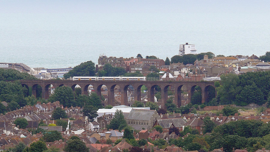
| 1. A saturday London Charing Cross to Ramsgate service - South Eastern Class 375 (three car version) - crosses the viaduct just outside Folkestone Central station. Top-left is the now defunct Folkestone Harbour station. The viaduct was undamaged by the 2007 earthquake although houses close by still show damage. 12 July, 2008. D h Thomas thomdh@hotmail.com |
|
The "Carter Bridge", a combined suspension and beam bridge, crosses the railway just north of Cambridge station. This merged view is less than perfect - the deck of the bridge is not in reality curved to the extent suggested here.
Photo by Chris McKenna 13/05/2006. |
|
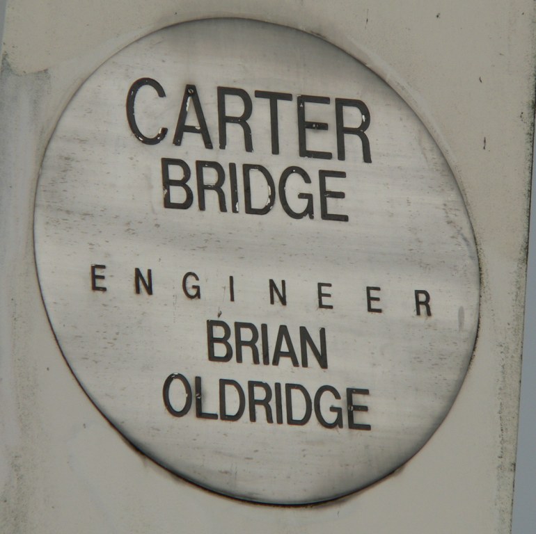
The "Carter Bridge" is a combined suspension and beam bridge that crosses the railway just north of Cambridge station.
Photo by Chris McKenna 13/05/2006. |
|
A zoom-in view of the MML throat (tracks hidden from view leaving only the 25KV overhead, unless a
train were to pass by). Although not seen, to the left of the pic is Camley Street bridge. The picture was taken on Sunday 29th August 2004 using a Kodak Easyshare DX6440, and anyone who wishes to use this photo must first seek permission from Edward Sloley via edward.sloley@ntlworld.com |
|
Here you have a bigger view of the MML throat from Camley Street. The catenary shown here was
commisioned in mid-August in order to facilitate the re-introduction of Thameslink services to London
St. Pancras. The bridge over Camley Street was re-opened a few weeks after this photos - about 4 months later than originally planned. The picture was taken on Sunday 29th August 2004 using a Kodak Easyshare DX6440, and anyone who wishes to use this photo must first seek permission from Edward Sloley via edward.sloley@ntlworld.com |
|
The identification of the bridge I was taking photos from. In road terms it carries is an unnamed access road from Hambrook Lane, to a couple of houses and a light industrial premesis. In railway terms it is identified as "SWB" (Possbily standing for "South Wales Branch", being on the South Wales Main Line, a branch of the Great Western Main Line) and as being 111 miles 32� chains from London Paddington.
Photo by Chris McKenna 03/05/2006. |
|
The tunnel-like bridge that takes the Severn Beach Line over Mina Road in the Montpellier area of Bristol. This bridge is located a few hundred yards west of Narroways Junction, where the Severn Beach Line diverges from the Bristol to South Wales Main Line between Bristol Temple Meads and Bristol Parkway/Patchway.
Photo by Chris McKenna 01/12/2006. |
|
Two bridges over the split level section of the South Wales Main Line west of Patchway station in South Gloucestershire.
Photo by Chris McKenna 20/05/2006. |
| The bridge over the River Mawddach at Barmouth, Gwynedd. |
|
Kew Railway Bridge in west London. This bridge carries London Underground's District Line branch to Richmond and Silverlink London Suburban services.
Photo by Chris McKenna 20/08/2005. Larger, higher quality copies of most of my pictures are available, please email if you want a copy. |
|
A Silverlink London Suburban serivce crossing Kew Railway Bridge in west London.
Photo by Chris McKenna 20/08/2005. Larger, higher quality copies of most of my pictures are available, please email if you want a copy. |
|
The Ranvie Swing Bridge accross the western approach to the Caledonian Canal, a couple of minutes north of Fort William sation.
This photograph was taken from the last carriage of The Jacobite steam service on the West Highland Line from Fort William to Mallaig, hauled by LNER B1 4-6-0 locomotive 61264
Photo by Chris McKenna 16/06/2005. |
|
29 May 2000, Newtongrange, Scotland Lothianbridge Viaduct located south of Edinburgh on the disused Waverley Route running south to Carlisle. There are well-justified plans to reopen at least the northern section to Galashiels.
Digital photo by Klaus Föhl (kf@ph.ed.ac.uk) |
|
9 Jan 2000, Peebles, Scotland Viaduct across the River Tweed just west of Peebles. It used to carry a branch line of the Waverley Route.
Digital photo by Klaus Föhl (kf@ph.ed.ac.uk) |
|
The bridge that carries St Johns Road over the Severn Beach Line a short distance west of Clifton Down railway station in Bristol is located exactly four miles from Bristol Temple Meads. I don't know what the CNX code stands for, but it will identify the railway that runs beneath the bridge.
Photo by Chris McKenna 06/12/2006. |
|
11 Dec 1999, Shankend, Scotland Shankend Viaduct located south of Hawick on the disused Waverley Route running from Carlisle to Edinburgh. There are plans to reopen the section north of Galashiels for commuter trains and a southern part to Riccarton Junction serving the Kielder Forest for timber transport. Plans for the middle section are less advanced, but this would provide additional transport capacity on rails in and out of Scotland.
Digital photo by Klaus Föhl (kf@ph.ed.ac.uk) |
 Cambridge-CarterBridge-02.jpg (100458 bytes)
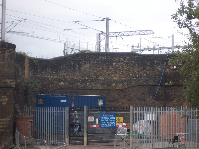 Camley_Street_bridge_no_1.jpg (150898 bytes)
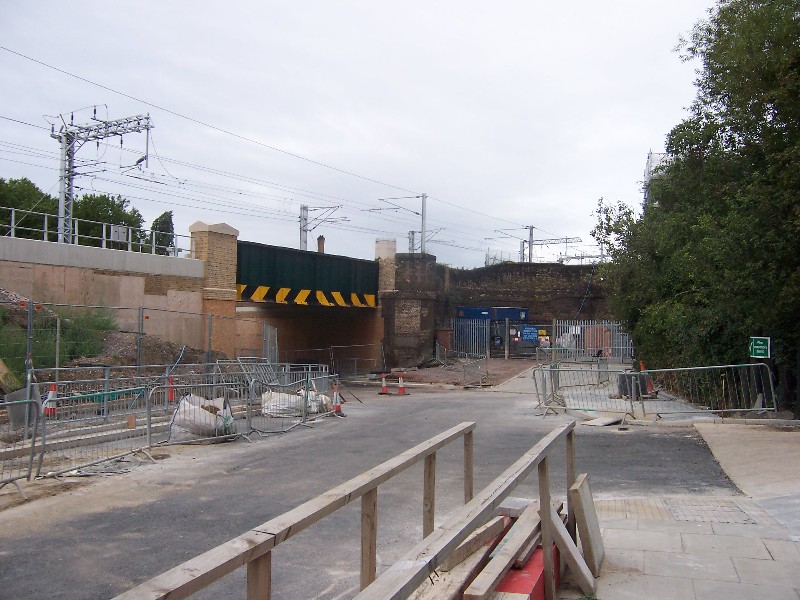 Camley_Street_bridge_no_2.jpg (145942 bytes)
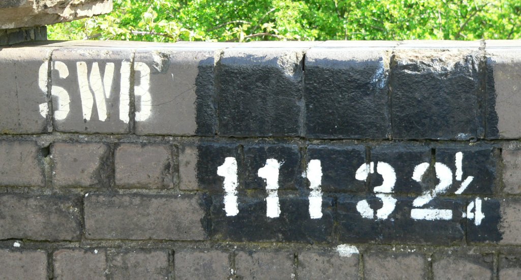 Hambrook_Lane_Bridge-SWB111-32_25.jpg (161880 bytes)
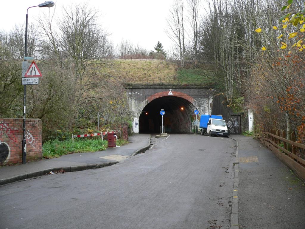 MilnaRoadBridge-01.jpg (165184 bytes)
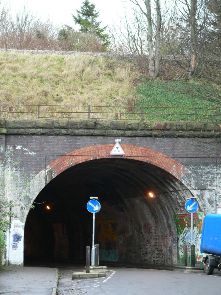 MilnaRoadBridge-02.jpg (166132 bytes)
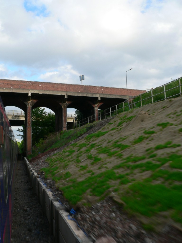 SWML-Patchwaybridges-01.jpg (141897 bytes)
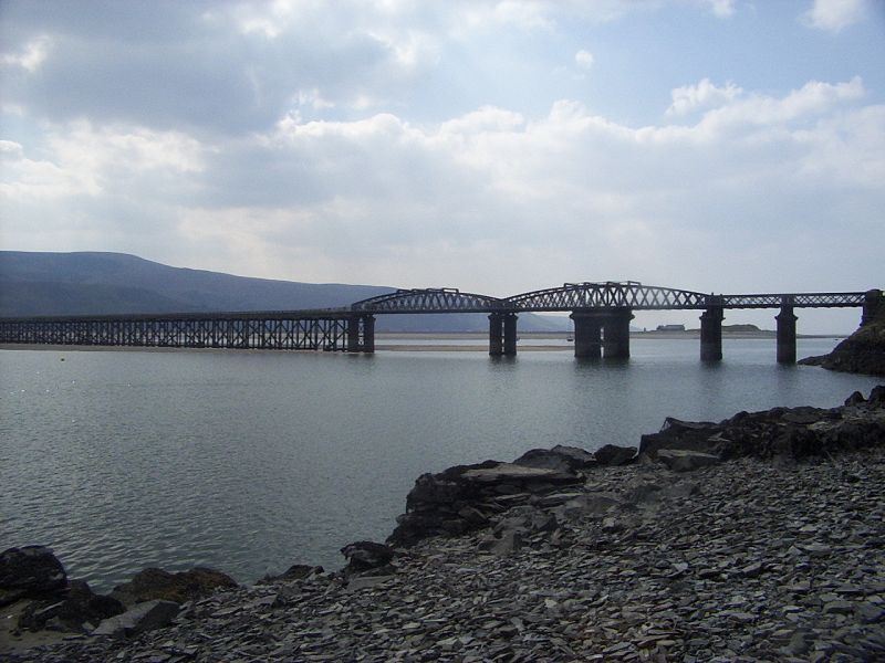 barmouthbridge.jpg (80007 bytes)
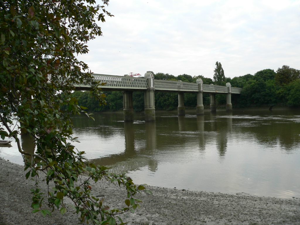 gb-bridge-KewRailwayBridge01.jpg (162459 bytes)
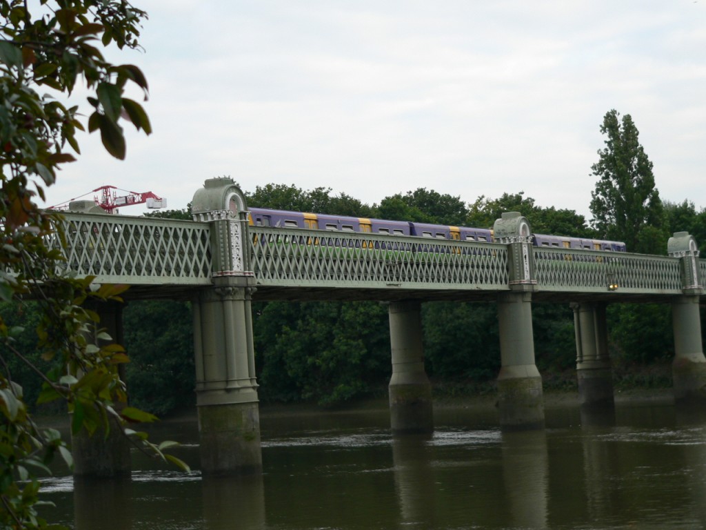 gb-bridge-KewRailwayBridge02.jpg (161143 bytes)
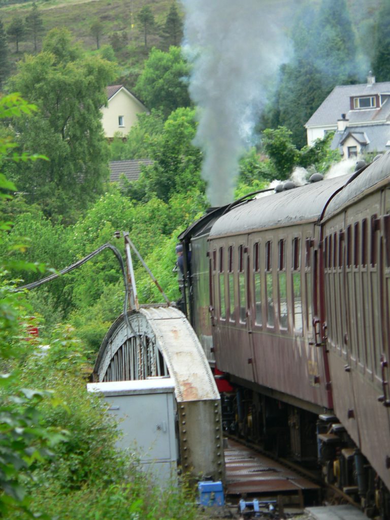 gb-bridge-Ranavie-swing-bridge-01.jpg (159222 bytes)
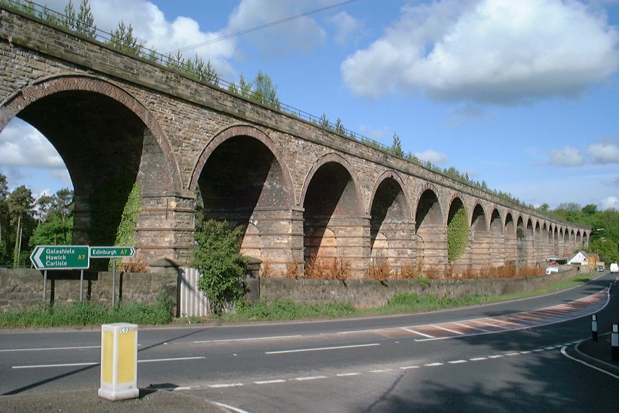 lothianbridge2000_1.jpg (137061 bytes)
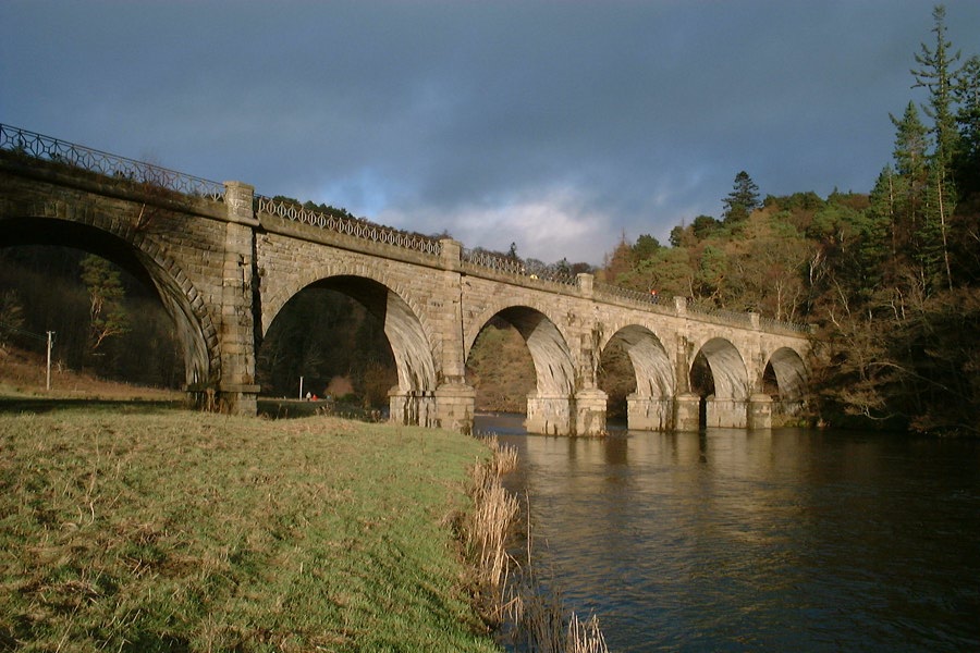 peebles2000_1.jpg (133368 bytes)
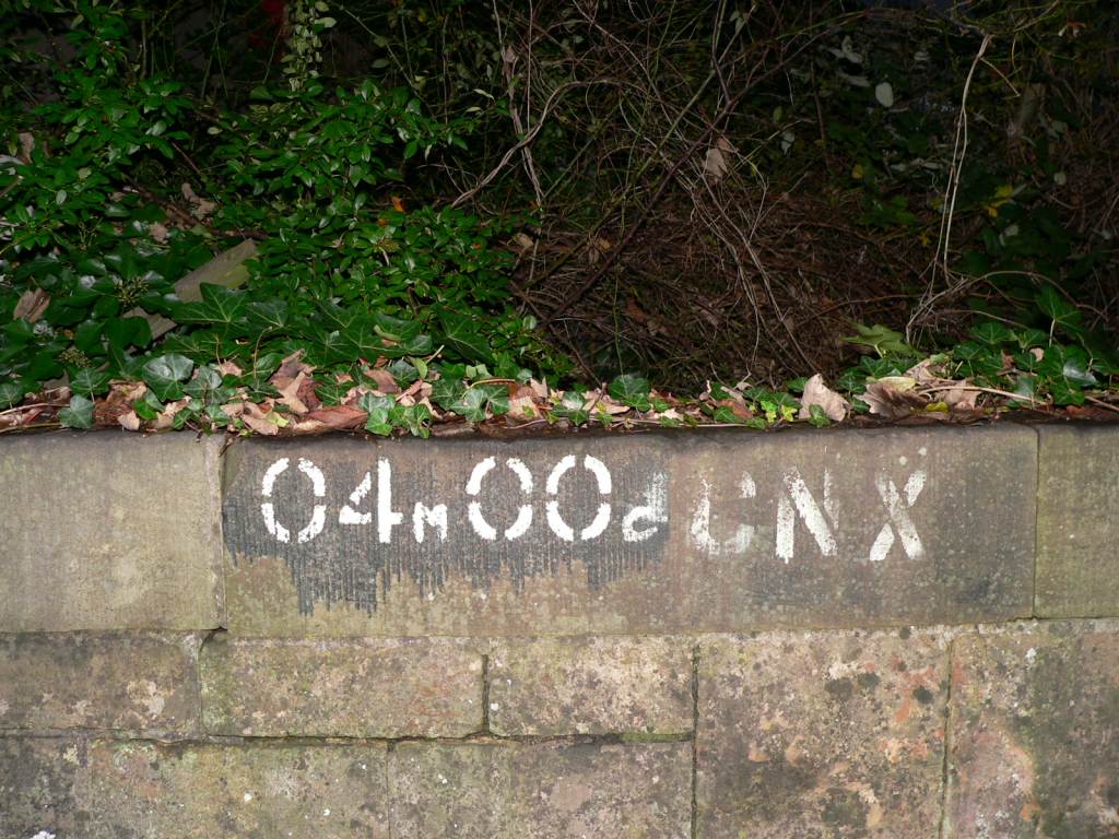 roadbridgeid.jpg (162604 bytes)
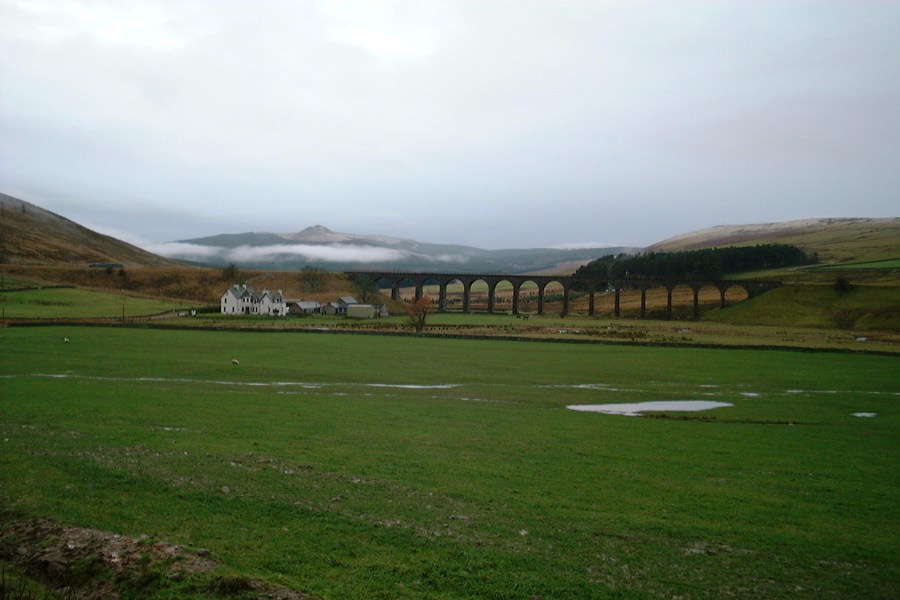 shankend1999_1.jpg (97721 bytes)