 WeymouthQuayBranch-map1.png (168742 bytes)
|
The Railfaneurope.net Picture Gallery
Directory: /pix/gb/misc/Weymouth_Quay
Last update: Sat Nov 15 20:06:52 CET 2014
|
|
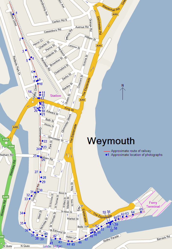
This street map of Weymouth shows the approximate route of the Weymouth Quay branch, also known as the Weymouth Tramway, that took freight and passenger trains through the streets of the town direct to the ferry port. The line has been mothballed and unused since the late 80s or early 90s. The blue circles show the aproximate location of the photographs I took of the line, the the numbers corresponding to the file names, e.g. WQ-010N-01.jpg was taken looking north from point 10.
Photo by Chris McKenna 06/09/2006. |